Call and Book Your Hotel Now!
Domestic Toll-Free for US and Canada: 1-800-997-1438
Worldwide: +1-817-983-0682
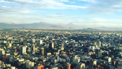
Mexico City is geographically located in the Valley of Mexico. This valley, also known as the Valley of the Damned is a large valley in the high plateaus at the centre of Mexico. It has an altitude of 2,240 meters (7,349 feet). The Federal District of Mexico City is situated in central-south Mexico and it is surrounded by the state of Mexico on the west, north and east, and by the state of Morelos on the south. The city covers an area of around 1,485sq km (571 sq mi) with the elevation of 2,240m (7,349 ft).
Mexico City is situated in the tropical zone and lies at an altitude of 7,240 feet (2,230 m) above sea level. This high altitude largely determines the climate of Mexico City. The city experiences hot summers and mild winters with an annual average temperature of 18°C (64°F) with marginal seasonal fluctuations. January is the coldest month and May is the warmest while rainfall occurs mainly between June and October.
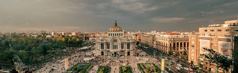
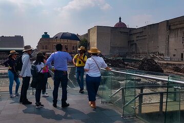
Before gaining independence in the early 19th century, the city was under Spanish rule for three centuries so you see it's great, lingering influence on Spanish culture. The majority of residents in Mexico City are Roman Catholics and it is also home to large immigrant communities. The city has some posh neighbourhoods in the south and west, including Polanco, Lomas de Chapultepec, Ciudad Satélite, Jardines del Pedregal and Santa Fe. Remember, Mexico is a developing country, so there are also areas of sparse development towards the east (Ciudad Nezahualcóyotl, Pantitlan, Chalco and Moctezuma). Though there are some social and economic concerns, the city still continues to flourish.